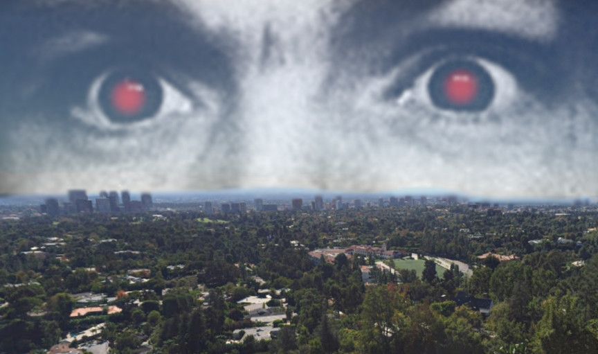
Geography of murder: The Manson saga in space and time.
Eight places where some of the most infamous crimes of the 20th century occurred offer an unusual perspective on the events.
Fifty-four years ago today, on July 27, 1969, the most infamous murder spree in American history began, a saga that would scar the nation forever and which continues to resonate in our history to the present day. On that day Gary Hinman, a peaceful and good-hearted music teacher, was brutally murdered by the hippie cult followers of one Charles Milles Manson. Over the next month, many more innocent people would die at the command of Manson, a delusional racist lunatic with an inexplicable control over his followers, most of them very young women. Although Manson himself is dead, the long tail of these events stretches literally to right now. This month, July 2023, one of the former cultists, Leslie Van Houten, was released from prison after over half a century of incarceration. A handful of former Manson Family members remain behind bars, having served more time than any Nazi war criminal who was not executed. The Manson phenomenon still maintains an eerie hold on our culture.
Four years ago, on this same anniversary, for my previous blog I compiled an article in which I researched and looked up on Google Earth many of the significant locations in the Manson story, all in and around the Los Angeles area. What emerged was a fascinating and altogether different picture of the murders than I've gotten from any book about the case (and I've read many). I decided to revisit the locations and update the survey for this article, in which I've gathered coordinates and screenshots. To really make sense of it, one must be generally conversant with the basic geography of Los Angeles, and one must also understand a dynamic of Manson's crimes that isn't talked about as much as it should be. There was a strong class dimension to it, and the basic grievances that powered Manson's resentment of the victims he destroyed were rooted in the toxicity of celebrity culture and the exclusionary nature of the entertainment industry. You can literally see this on the ground when surveying these locations. I hope to demonstrate that in this article, and perhaps give you a different perspective on a story you might have heard many times.
Here are eight locations related to the story of the Manson murders. I've marked the coordinates of each one as a link which leads to that location on Google Maps. The photos are from street view, or user-contributed photospheres, 360 panoramas of what these locations look like on the ground. I like incorporating digital geography like this into the history I look at, because there's nothing that makes the past more real than seeing where it happened.
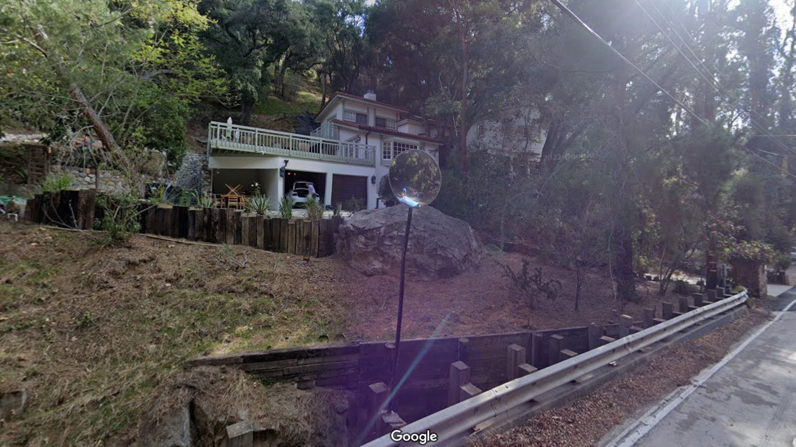
Former Gary Hinman House, Topanga Canyon, Los Angeles
Coordinates: 34.102386, -118.621095
Musician and devout Buddhist Gary Hinman was the first of the Family's victims. He lived here in this house on Topanga Canyon Boulevard, which was much smaller then, but portions of what you can see apparently existed in 1969. What preceded his murder on July 27, 1969 is unclear, but what we do know is that Manson slashed Hinman with a sword, and later a Manson Family member, Bobby Beausoliel, stabbed him to death. He did so with the participation of other Family members such as Susan Atkins, and allegedy at Manson's telephoned direction: "You know what to do." The killers were apparently after Hinman's cars which they stole and drove away from the scene. Hinman lay dead for several days before being discovered. The horror of what happened in this house is almost unfathomable. Beausoliel is still in prison; Susan Atkins died in 2009.